At a glance
- The fjords are drowned glacial valleys, cut by ice sheets and flooded by the sea when the ice withdrew.
- Average sea water around Tromso reaches 5.2 C in winter and rises to 10.5 C in summer.[27]
- Tide and wind push water through narrow sounds, where the current speeds up and the surface turns rough.
- Spring plankton feeds coastal cod, saithe, pollack, haddock, herring, mackerel and sprat.[28]
- The Tromsø: Arctic Fjord Cruise & Fishing Experience runs 4 - 5 hours and is listed from US$136.[29]
- Top choice Fjord Cruise & Fishing from US$136 Duration4 - 5 hours[29]Rating4.72 from 5,096 reviews[29]Guide languageEnglish[29]CancellationCancel up to 24 hours in advance[29] Check availability
- Polar Landscapes Cruise from US$121 Duration3.5 hours[30]Rating4.68 from 1,959 reviews[30]Guide languageEnglish, Norwegian[30]CancellationCancel up to 24 hours in advance[30] See this tour
- Fishing Sea Safari from US$173 Duration3.5 hours[31]Rating4.85 from 721 reviews[31]Guide languageEnglish[31]CancellationCancel up to 24 hours in advance[31] See this tour
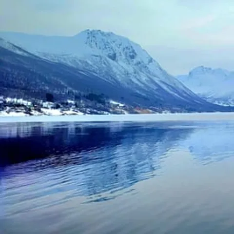
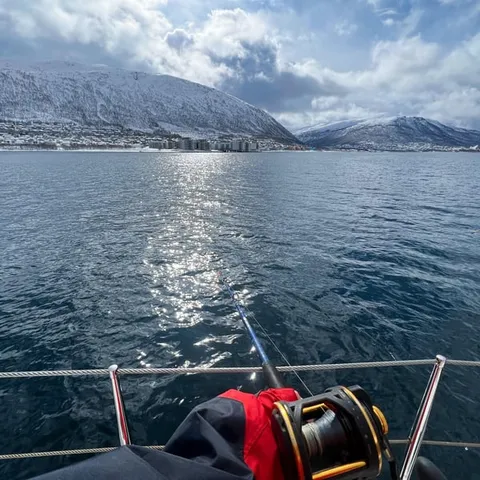
The average water temperature in Tromso in winter reaches 5.2 C, in spring 4.4 C, in summer the average temperature rises to 10.5 C, and in autumn it is 9 C.
Why the fjord cruise is the right way to see this coast
Read before booking
Glaciers That Carved the Arctic Straits
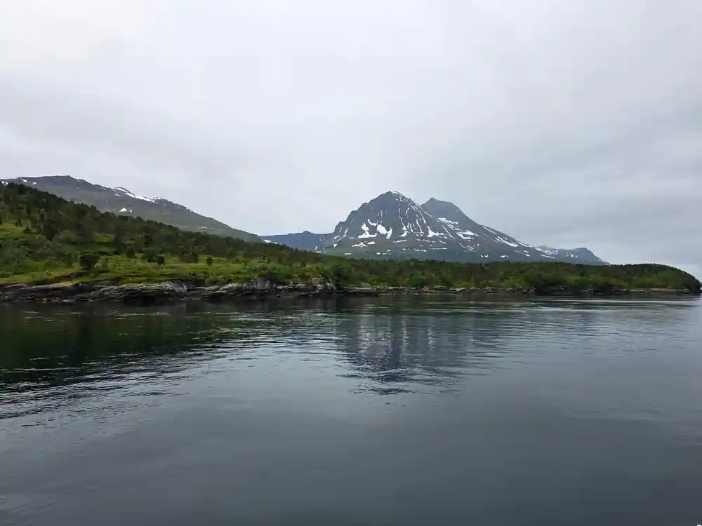
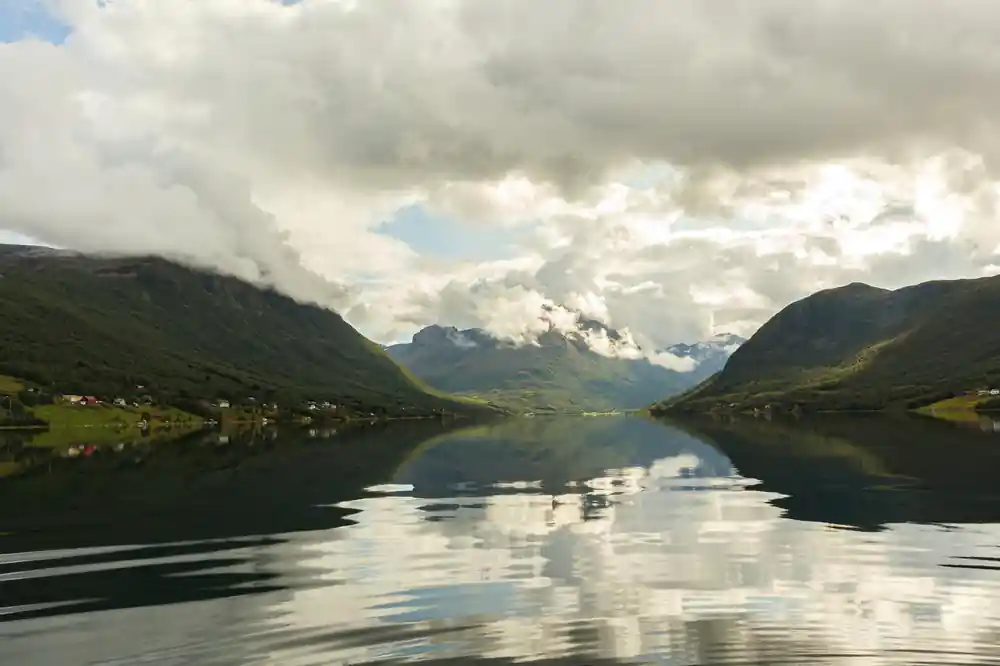
The fjords around Tromsø are drowned glacial valleys. During the ice ages, thick ice filled these troughs and crept slowly downhill, following old fracture lines in the bedrock. Moving ice grinds and quarries the rock beneath it, dragging boulders and gravel along, and the valleys it leaves behind are not the narrow V shapes of a river but broad U shapes with steep sides and flat, deep floors. When the climate warmed and the ice withdrew, the sea came in behind it, and those excavated troughs became the fjord arms that cut this coastline into islands and peninsulas.
Look at the skyline from the harbour and you are reading that history. Tromsdalstinden, the large mountain visible across the bridge from downtown Tromsø, has a summit elevation of 1,238 m.[33] The land around the city is the same rock, sliced into separate pieces by flooded valleys; the Tromsø: Arctic Fjord Cruise & Fishing Experience lists stops at Ryøya and Ramfjorden.[29] Above the waterline the slopes look rounded, worn back by frost, snow and weather. Below it, the walls fall away steeply where the ice cut deepest, and the bottom drops fast within a short distance of shore.
Water Temperature Through the Arctic Year
A fjord this far north might be expected to sit near freezing all year, and it does not. The average sea water temperature around Tromso reaches 5.2 C in winter and rises to 10.5 C in summer.[27] Warm Atlantic water carried up the Norwegian coast plays a part. So does sheer volume: a deep basin takes a long time to lose stored heat, and the outer fjords feel the ocean's influence more than the sheltered inner arms do. On land the swings are wider. In Tromso the average temperature of the coldest month, February, is -3.2 °C, and the average of the warmest month, July, is 12.5 °C.[32]
What that means on deck is that air and wind matter more than sea temperature. Water at 5.2 C in winter and 10.5 C in summer[27] still pulls heat out of you quickly if you get wet, and summer water here is bracing rather than warm. Layers, a windproof outer shell, gloves and a hat do more for comfort than any single piece of gear. Over open water, the wind on a moving boat generally feels colder than the same air temperature ashore, and spray adds to the effect. A dry bag for spare clothing is a small thing that saves a day.
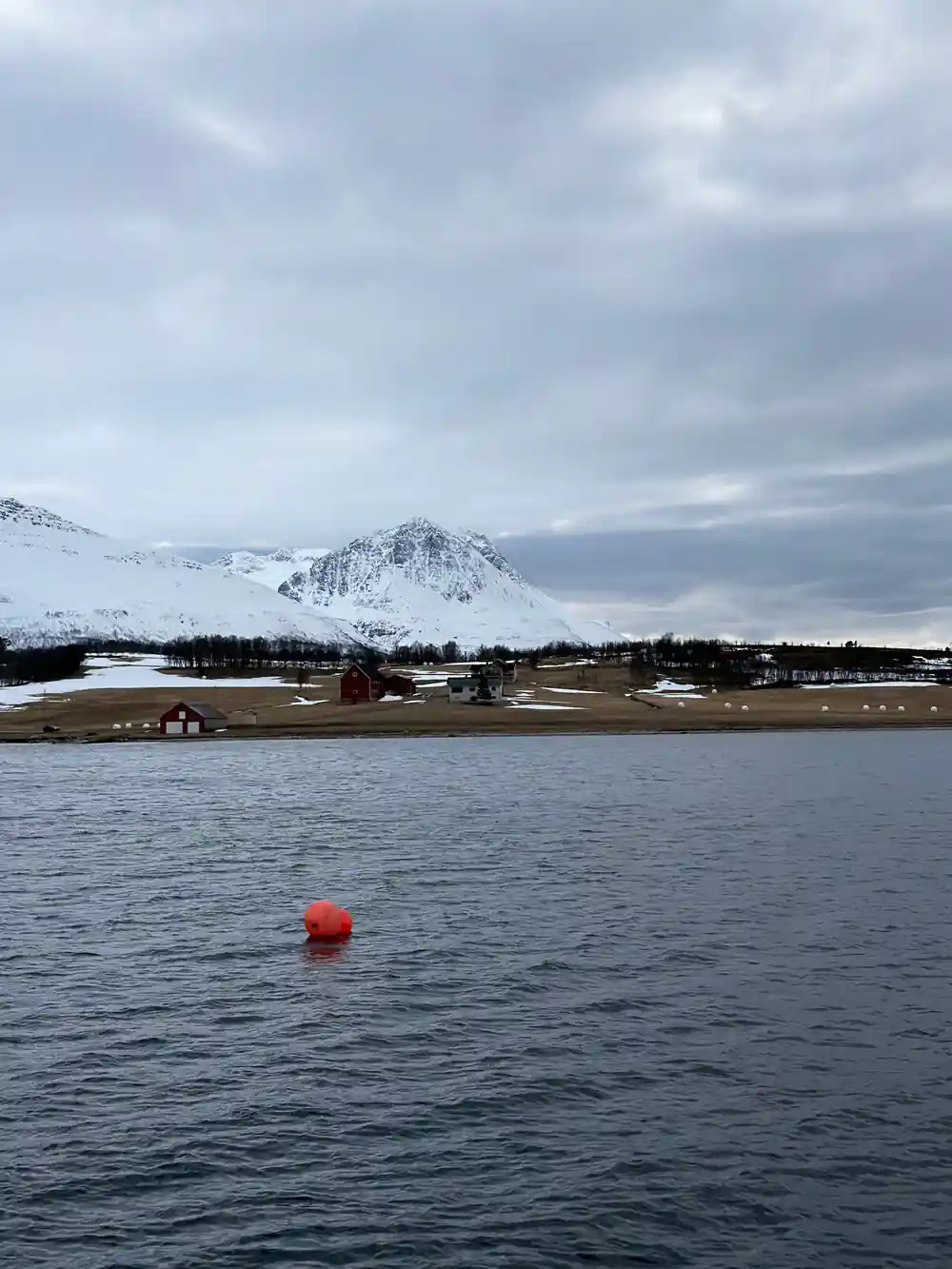
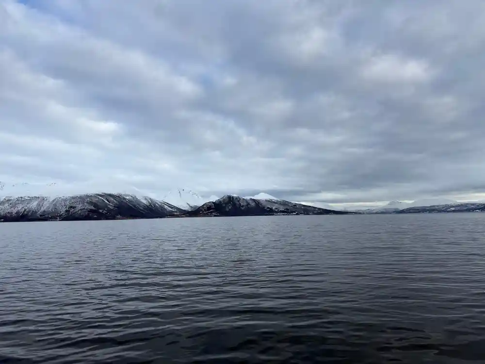
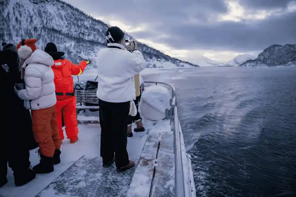
Low winter light on the fjord, with snow still lying on the slopes above the water.
Tides and Currents in Narrow Sounds
Fjord water is never still. Tide, wind and river outflow all push it about, and the shape of the coast decides where that movement is felt most. Where a fjord narrows into a sound, the same volume of water has to pass through a smaller gap, and the current speeds up. Rystraumen is a local example of that kind of pinch point, and one fjord cruise route lists it among its stops.[34] Watch a channel at slack water and again an hour later and the difference is plain to see: smooth water first, then standing waves, swirls and lines of foam across the surface.
Below the surface, the water is layered rather than uniform. Tidal exchange pushes dense, salty ocean water in over the sills from outside, while meltwater and river water stay near the top. In the deep basins, water can sit for a long time, held in place by the ridges that separate one arm from the next, and it exchanges only slowly with the sea beyond. That stillness is part of what makes these basins unusual: cold, dark, quiet water below, with a thin, busy layer above it where light, wind and river silt do their work.
Spring Plankton Blooms and Fjord Fertility
Fjord fertility begins with light. In spring, longer days let phytoplankton bloom in the surface layer, and everything else in the water builds on that bloom. Fish found in Norwegian fjords include coastal cod, saithe, pollack, haddock, herring, mackerel and sprat,[28] a catalogue of the species these northern waters hold. Herring is the great traveller of the group, moving in vast shoals that shift with the currents and the seasons. In the 1950s and 1960s, the fishable component of the Norwegian spring-spawning herring stock is believed to have measured about 10 million metric tonnes.[35]
Big animals follow the small ones. Orcas and humpbacks follow herring into the Tromsø and Skjervøy fjords roughly every November through January.[36] Above the surface, Norway has 2,500 breeding pairs of white-tailed sea eagles, the largest breeding population in Europe.[37] Sea eagles work this coastline through the year, and a boat crossing open water often draws their attention. Birds, fish, whales and plankton all sit inside the same food chain, and from the deck you can watch several links in it before the boat turns for home.
from US$136
A cruise among the drowned glacial valleys, listed from US$136[29], with stops at Ryøya and Ramfjorden.
Freshwater Layers Floating Above Salt
Salt water is heavy, fresh water is light, and around Tromsø the two often sit in layers rather than mixing. Snowmelt from the mountains and meltwater from small glaciers run into the fjord through late spring and summer. The fresh water spreads out across the surface as a thin, brackish sheet instead of sinking, and the saltier water stays underneath. The boundary between the two can be sharp, and it shifts from day to day with wind, rain and runoff, and the same stretch of fjord can feel completely different a week apart.
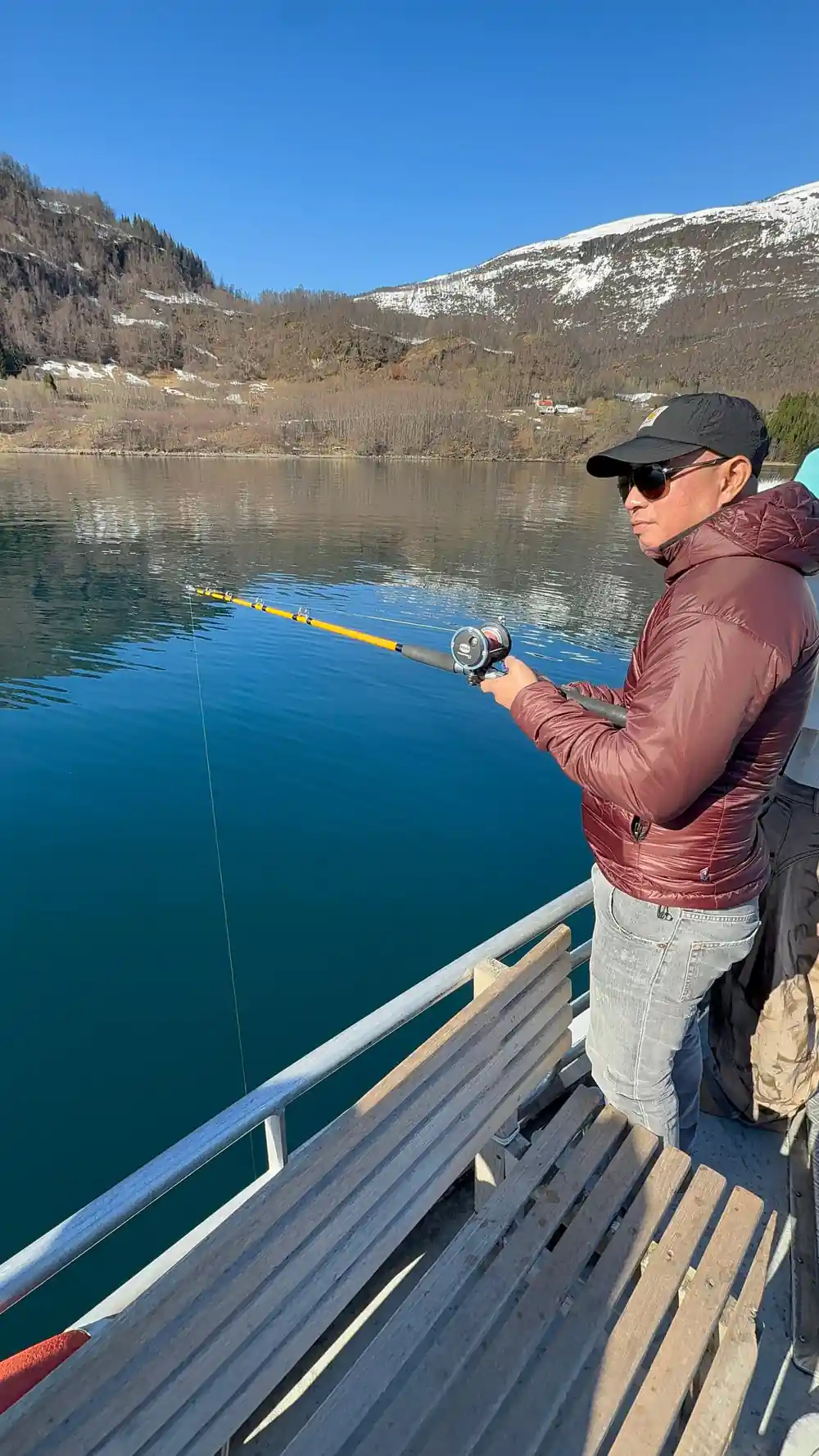
That surface layer changes what you see from a boat. Near a river mouth the water can look milky, and on a calm day the fresh layer lies so flat that the fjord seems polished. Wind mixes the top few metres within an afternoon, while a quiet spell lets the layers settle out again. For anyone fishing, the boundary is worth watching: fish often hold along it, and a line fished just under the fresh layer behaves differently from one dropped into the salt below. A fjord is not a bucket of uniform water but a stack of different ones.
Tromso's Arctic Position: Farther North Than Most Realize
Tromsø sits high in the north, and the light here surprises first-time visitors. The city lies 217 miles north of the Arctic Circle and has a population of 75,638.[38] Above that line the sun stays below the horizon for part of the winter, and Tromsø claims 61 days of polar night.[39] The long darkness carries its own reward. January offers the highest statistical chance of seeing the aurora in Tromsø, with 75-80% success.[40] Shadows run long here even in midsummer, and the sun never climbs far above the ridge lines.
Polar night does not mean permanent blackness. Around the middle of the day there is a long, low twilight that colours the snow pink and blue, and the mountains hold that light for hours. When the sun does return, the fjord at its brightest is still a soft, pale place. The Tromsø to North Pole distance runs north across open sea and pack ice, and yet the water in this harbour behaves more like the coast of a far gentler latitude than the map suggests.
Experiencing the Fjord from the Water
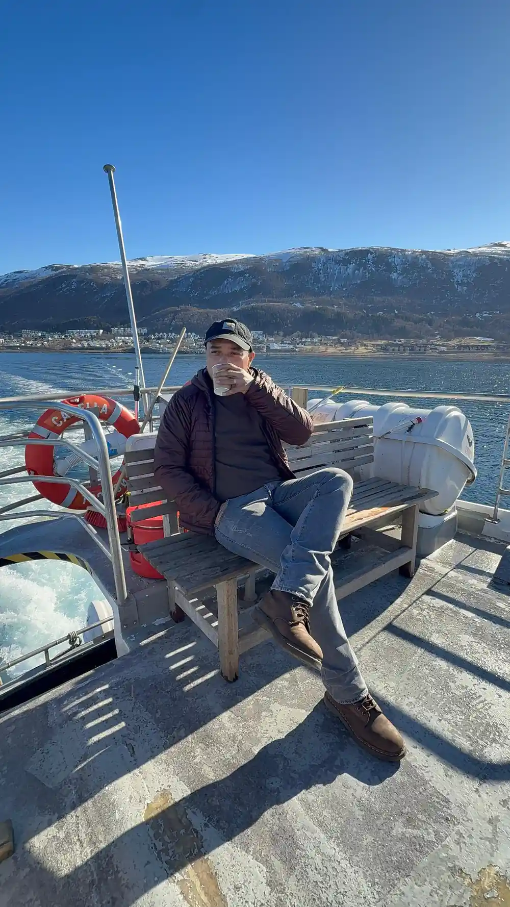
Reading about drowned valleys is one thing; the fjord is better seen from deck level, where the scale of the walls and the layering of the water become obvious. The Tromsø: Arctic Fjord Cruise & Fishing Experience runs 4 - 5 hours and is listed from US$136.[29] It is rated 4.72 from 5,096 reviews.[29] A live guide speaks English on board, and the route includes stops at Ryøya and Ramfjorden.[29] You can reserve now and pay later, and free cancellation is available up to 24 hours in advance for a full refund.[29]
Other water-based options suit different days. The Arctic Fjord Cruise in Polar Landscapes is listed from US$121 and runs 3.5 hours.[30] The Fishing Sea Safari is listed from US$173 and runs 3.5 hours.[31] The Sommarøy Fjord Expedition Tour with a salmon picnic is listed from US$55 and runs 4.5 hours.[41] Whichever you choose, dress for a cold, moving boat, keep a camera within reach, and expect the light and the water to change several times before you are back at the quay.
From-prices for fjord and fishing trips out of Tromsø
Each bar is a from-price on a GetYourGuide listing:[29][30][31][41]
Compare dollar from-prices for a fjord day out
Dollar from-prices come from these listings:[29][30][31][41]
What each season does to the fjord
How these fjords were made
Ice sheets
Thick ice filled the troughs during the ice ages and crept seaward along lines of weak rock, grinding as it went.
U-shaped valleys
Ice leaves broad, steep-sided valleys with flat floors, quite unlike the narrow V of a river valley.
The sea moves in
As the climate warmed and the ice withdrew, sea water flooded the excavated troughs and turned them into fjords.
Currents and layers
Tides push salty water over the sills while meltwater floats on top, and narrow sounds speed the flow between basins.
See it from the water
The fjord cruise runs 4 - 5 hours[29] and is an easy way to read the landscape from deck level.
Read the landscape from the water on a fjord cruise
from US$137Reserve now & pay later