At a glance
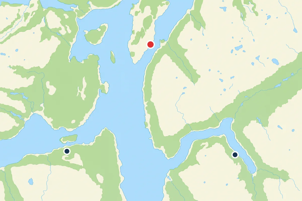
- The Arctic Fjord Cruise & Fishing Experience lists its stops as Ryøya then Ramfjorden, an island and an inner fjord arm on one sailing.[12]
- The cruise is listed as lasting 4 - 5 hours with a live tour guide in English, and starting times depend on the date you pick.[12]
- Prices start from US$136, and the listing offers reserve now & pay later plus free cancellation up to 24 hours in advance.[12]
- Fish found in Norwegian fjords include coastal cod, saithe, pollack, haddock, herring, mackerel and sprat.[13]
- Sea water around Tromso averages 5.2 C in winter and 10.5 C in summer, and Tromsø claims 61 days of polar night.[14][15]
- Top choice Fjord Cruise & Fishing from US$136 Duration4 - 5 hours[12]Rating4.72 from 5,096 reviews[12]Live guideEnglish[12]CancellationFree cancellation up to 24 hours[12] Check availability
- Polar Landscapes Cruise from US$121 Duration3.5 hours[16]Rating4.68 from 1,959 reviews[16]Live guideEnglish, Norwegian[16]CancellationFree cancellation up to 24 hours[16] See this tour
- Fishing Sea Safari from US$173 Duration3.5 hours[17]Rating4.85 from 721 reviews[17]Live guideEnglish[17]CancellationFree cancellation up to 24 hours[17] See this tour
However, since they received protected status, the population has grown and Norway is now home to the largest breeding population of white-tailed sea eagles in Europe, with 2,500 breeding pairs.
Our verdict on this fjord route
Know before you leave
Ryøya: An Island Shaped by Ice and Wildlife
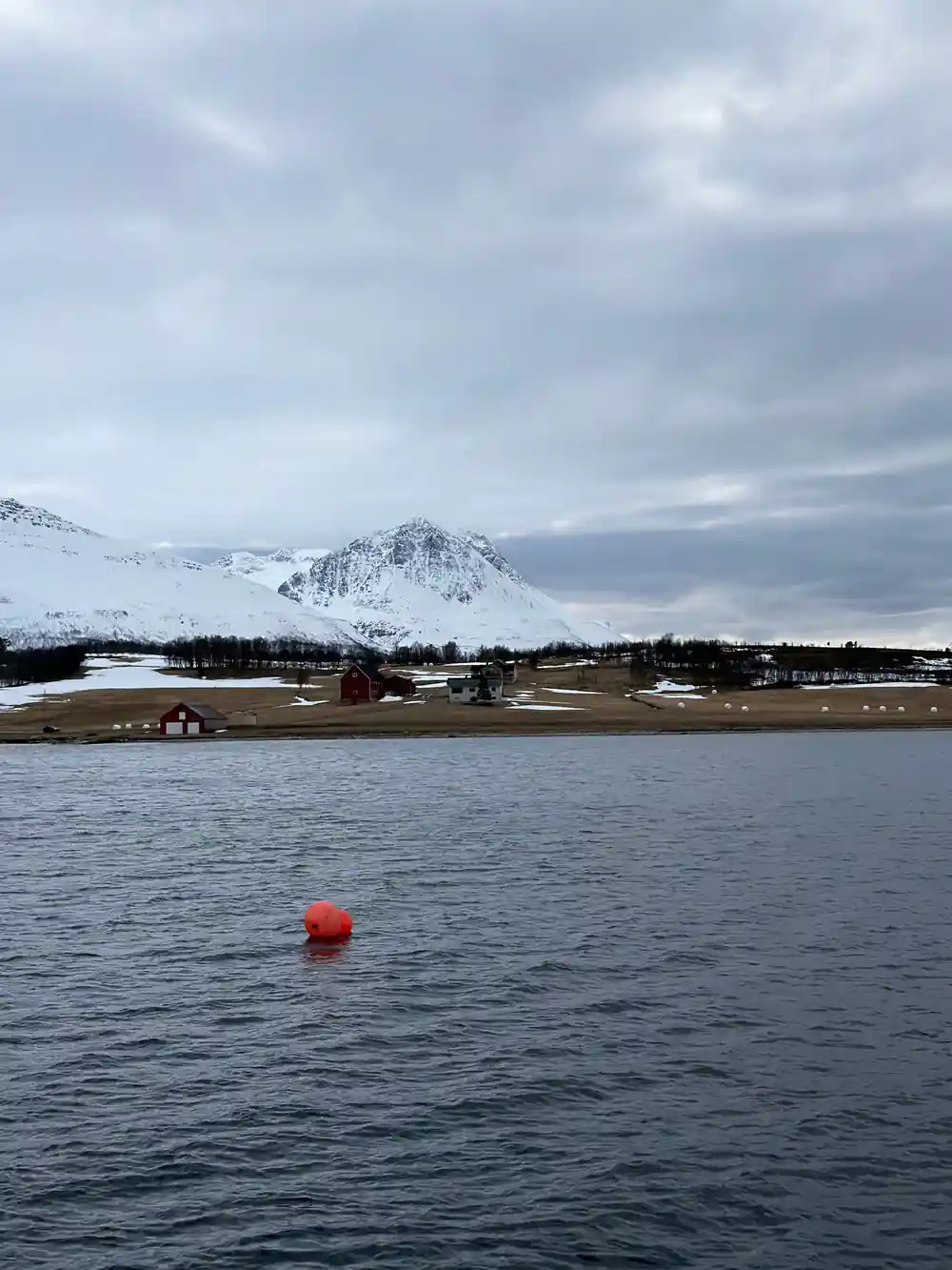
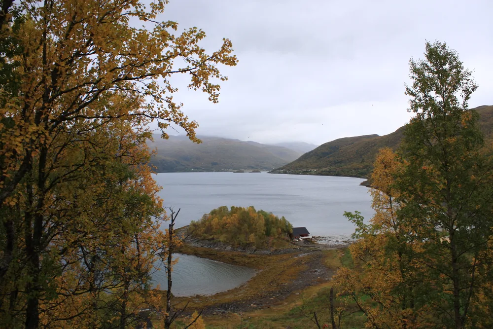
Ryøya sits inside Ramfjorden, a low island of grey rock, heath and wind-bent birch that the boat passes as it works along the fjord. From the water it looks modest: a rounded hump of stone, a fringe of kelp along the tideline, a few pale shell beaches where the swell has sorted the shingle, and darker cliffs on the side that takes the weather. The route listed for the Arctic Fjord Cruise & Fishing Experience runs Ryøya then Ramfjorden, so the island and the inner arm come on the same sailing.[12]
Watch the shoreline rather than the middle of the island. Seabirds work the tidal currents and the skerries offshore, gulls and cormorants mostly, with a fair chance of a white-tailed sea eagle hanging on the updraught above the ridge. The rock rewards a second look too: smooth, ice-polished slabs on one flank, broken crags on the other, and boulders left stranded when the melting ice withdrew. In calm weather the boat can hold close enough that you hear water slapping stone and smell the seaweed.
Ramfjorden and the Peaks That Frame It
Ramfjorden runs inland from the sound south of the city, a long arm of water with steep sides and a shallow head where a river arrives and the surface turns milky green after rain. The land rises quickly on the eastern side, and the fjord narrows into a channel that feels far more enclosed than the open sea. This is the second of the two stops listed for the cruise.[12]
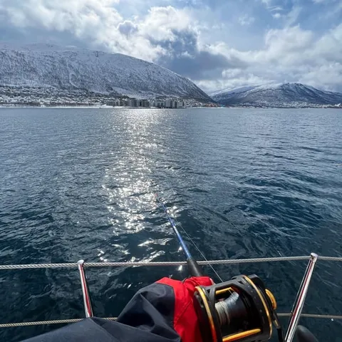
The mountain that dominates the view from town is Tromsdalstinden, the big peak you see across the bridge from downtown Tromsø, and its summit stands at 1,238 m.[18] From the water its shape changes constantly: broad and rounded from one angle, sharp-edged from another, with snow lying in the gullies long after the lower slopes have greened up. Tromsø itself lies 217 miles north of the Arctic Circle and has a population of 75,638.[19] If you like to follow a route on paper, a Tromsø fjords map shows how the island and the arm sit relative to the city.
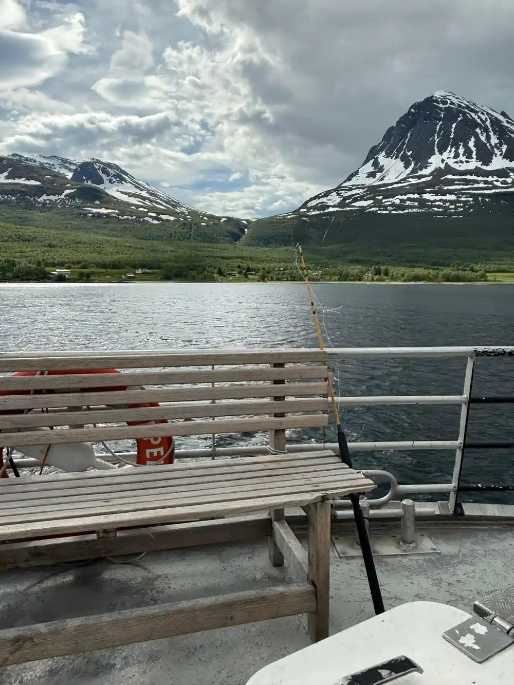
Ramfjorden narrows into a channel of polished rock and dark, cold water near its head.
How Glacial Carving Made These Fjords
A fjord is a valley that ice has widened, deepened and then handed to the sea. For thousands of years glaciers filled these troughs, grinding the walls into the near-vertical faces you see today and dragging the floor well below the waterline. When the ice retreated, the ocean moved in behind it and the channels stayed deep. Ramfjorden still carries the marks: a U-shaped cross section, polished whaleback rocks along the shore, and a shallower sill near the mouth where the glacier dropped part of its load.
Ice also decides what grows here. Bare rock takes a long time to become soil, so the lower slopes carry birch, juniper, heather and moss rather than forest, and the tree line sits low. Meltwater streams build small fans of gravel where they meet the fjord, and those fans are usually where you find the flattest ground, a boathouse and a couple of houses. The vessels that work these waters have changed as well: Siemens Energy's whisper-quiet electric and hybrid propulsion systems can cut vessel fuel consumption, emissions and costs up to 90 percent.[20]
Water, Depth and the Movement of the Tide
Twice a day the tide pushes in and out of Ramfjorden, and where the water is squeezed between an island and the mainland the current runs noticeably harder than it does in the wide basins, with swirls, upwellings and lines of choppy water marking the edges. Deep, cold water sits below, while fresher meltwater spreads across the surface in spring and summer. The average sea water temperature around Tromso reaches 5.2 C in winter and rises to 10.5 C in summer, which is bracing rather than warm.[14]
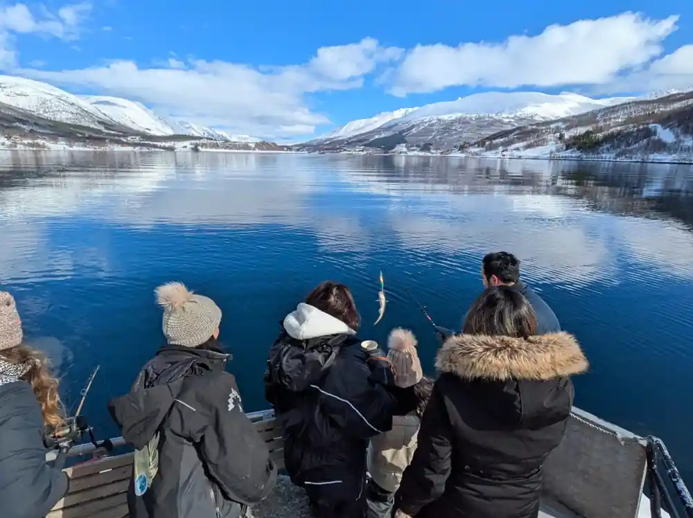
Cold water holds dissolved oxygen, and the mixing that happens in the straits carries nutrients up into the light. A fjord near Tromsø can look empty from above and still be crowded underneath. Nets, jigs and hand lines all work here, and the boat does not have to travel far. Watch the surface for signs of feeding: diving birds, a patch of disturbed water, a line of current where baitfish gather, and sometimes a dorsal fin or a blow that turns out to belong to something much bigger.
from US$136
The Arctic Fjord Cruise & Fishing Experience runs 4 - 5 hours and lists its stops as Ryøya and Ramfjorden.[12]
Shoreline Settlements and Old Boathouses
The shores are not empty, but they are quiet. Small farms and hamlets occupy the few flat patches between rock and water, and the boathouses sit close to the strand: wooden sheds with their doors facing the sea, some with turf roofs, some patched with corrugated iron, built for boats that were hauled out by hand. You will pass slips, mooring rings and wooden racks where fish were hung to dry, and in summer a few jetties with a boat tied up and washing on the line.
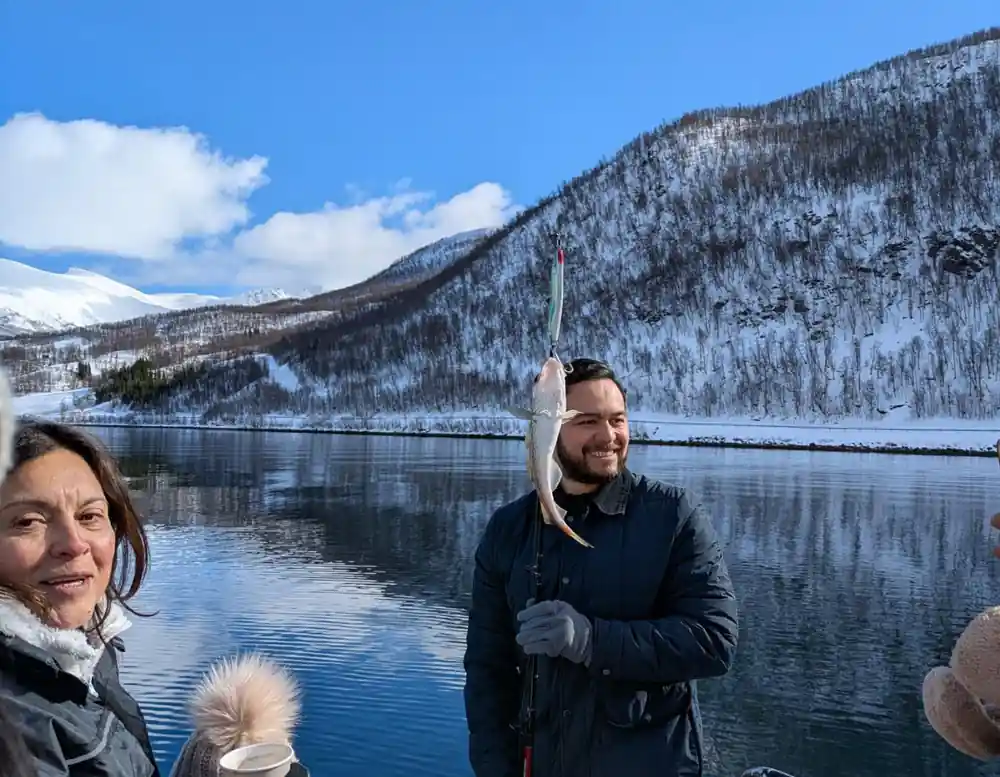
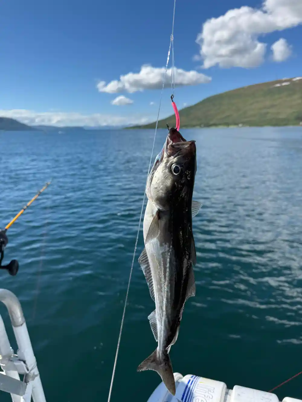
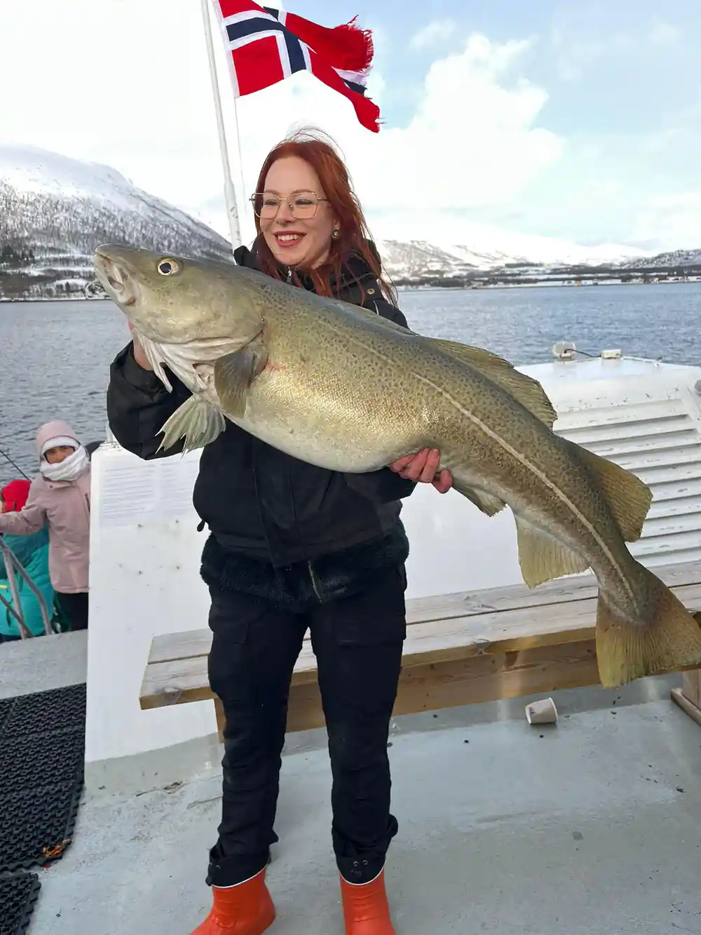
Fishing shaped this coast long before anyone came here to look at it. Fish found in Norwegian fjords include coastal cod, saithe, pollack, haddock, herring, mackerel and sprat.[13] Herring has long mattered in these waters: in the 1950s and 1960s, the fishable component of the Norwegian spring-spawning herring stock is believed to have measured about 10 million metric tonnes.[21] Reading the shoreline from the water is the quickest way to see how a family made a living here, from the size of the boathouse to the height of the drying rack.
Photo Stops and Viewpoints Along the Route
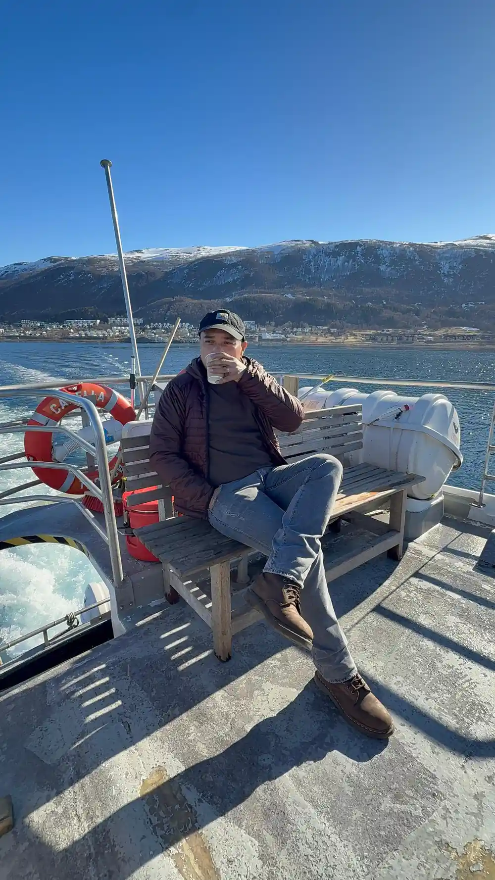
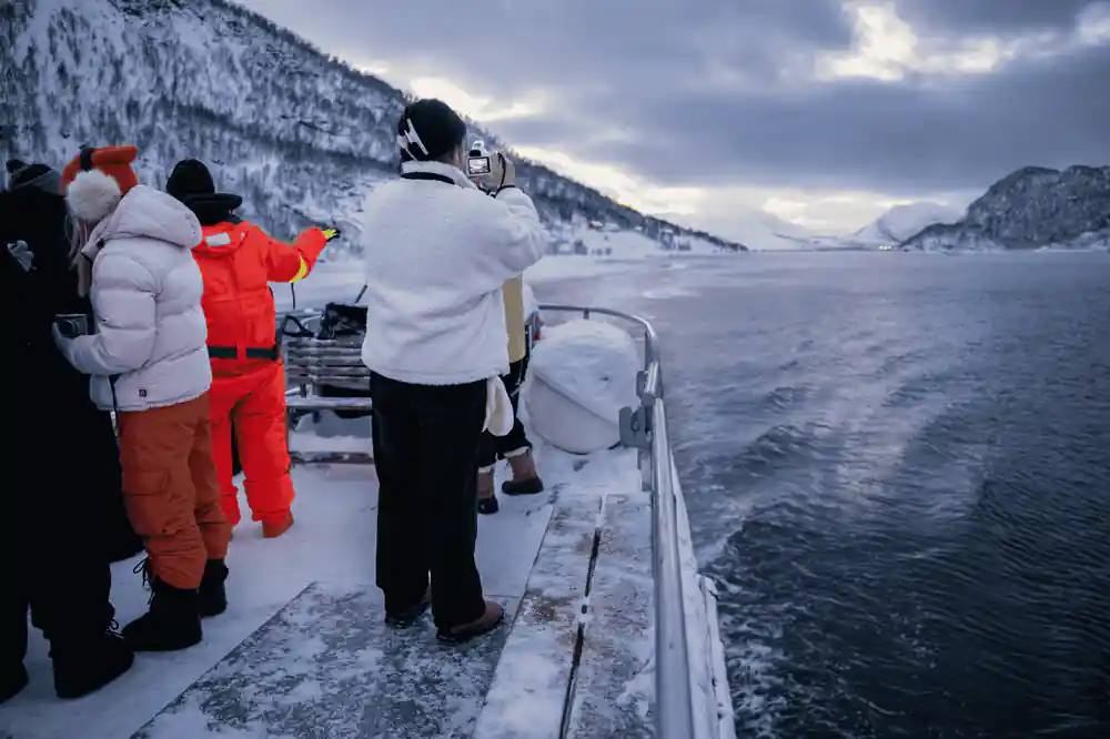
Photographs come out better from the open deck than through a cabin window, so dress for standing still in cold air and keep a cloth handy for spray on the lens. Light changes fast: low winter sun rakes across the water, summer nights stay bright for hours, and cloud can lift a mountain out of flat grey into sharp relief in minutes. A camera that copes with high contrast helps, and a phone kept in a warm inside pocket holds its battery far longer than one left on a rail.
The tour is listed as lasting 4 - 5 hours with a live tour guide in English, and starting times depend on the date you choose.[12] Plan it as the main outing of the day rather than squeezing it between two others. Bring a small dry bag, gloves you can pull off with your teeth, and a spare battery. If the light is flat, look for reflections instead: the water doubles every cliff, and a still patch near the shore gives you the mountain upside down.
Wildlife and the Turning of the Seasons
Wildlife follows the fish. Orcas and humpbacks follow herring into the Tromsø and Skjervøy fjords roughly every November through January, so keep watching the surface in those weeks.[22] Above the water, keep an eye on the ridge lines: Norway has 2,500 breeding pairs of white-tailed sea eagles, the largest breeding population in Europe.[23] Seabirds are the constant, with guillemots, cormorants and gulls working the tide and eider ducks bobbing on the swell near the skerries.
Winter changes everything. In Tromso, the average temperature in February, the coldest month, is -3.2 °C, and Tromsø claims 61 days of polar night, when the sun does not clear the horizon at all.[15][24] The light is blue and low for hours, snow lies on the slopes, and the water looks black. In summer the same fjord is green and busy with boats and stays bright late into the evening, and the average sea water temperature rises to 10.5 C.[14] Between the two extremes, spring and autumn bring the fastest changes, with squalls, rainbows and glassy calm in the same afternoon.
Starting prices on nearby fjord tours
All values are from-prices on these GetYourGuide listings:[25],[16],[12],[17].
Compare from-prices in US dollars
Amounts are US dollar from-prices from the GetYourGuide listings[12],[16],[17] and[25]. Child rates are not stated on those listings.
When to sail the fjords near Tromsø
Planning the day
Book ahead
Reserve now & pay later is offered on the listing, so you can hold a place and settle payment nearer the date.[12]
Give it 4 - 5 hours
The cruise is listed as lasting 4 - 5 hours, so leave the rest of the day free rather than stacking another trip on top.[12]
Know the route
The listed stops are Ryøya and Ramfjorden, an island and an inner fjord arm on the same sailing.[12]
Dress for spray
Bring a windproof shell, a warm hat and gloves, and a dry bag for camera gear. The good views are outside, in cold air.
Watch the water
Scan for whale blows and diving seabirds, and look along the shoreline for boathouses, slips and old fish racks.
Sail past Ryøya and into Ramfjorden on an Arctic fjord cruise
from US$137Reserve now & pay later