At a glance
- Tromsø: Arctic Fjord Cruise & Fishing Experience, from US$136, lasts 4 - 5 hours and lists Ryøya and Ramfjorden as its stops.[2]
- The bridge, the Tromsø Arctic Cathedral, the town shore and the peaks of Kvaløya, all changing shape as the boat moves across the sound.
- Tromsø has 61 days of polar night, and January offers the highest statistical chance of aurora, with 75-80% success.[3][4]
- White-tailed sea eagles hunt over the fjord, and Norway holds 2,500 breeding pairs, the largest breeding population in Europe.[5]
- Reserve now and pay later, with free cancellation up to 24 hours in advance for a full refund.[2]
- Top choice Fjord Cruise & Fishing from US$136 Duration4 - 5 hours[2]Rating4.72 from 5,096 reviews[2]GuideLive tour guide: English[2]CancellationCancel up to 24 hours in advance[2] Check availability
- Fishing Sea Safari from US$173 Duration3.5 hours[6]Rating4.85 from 721 reviews[6]GuideLive tour guide: English[6]CancellationCancel up to 24 hours in advance[6] See this tour
- Polar Landscape Cruise from US$121 Duration3.5 hours[7]Rating4.68 from 1,959 reviews[7]GuideLive tour guide: English, Norwegian[7]CancellationCancel up to 24 hours in advance[7] See this tour
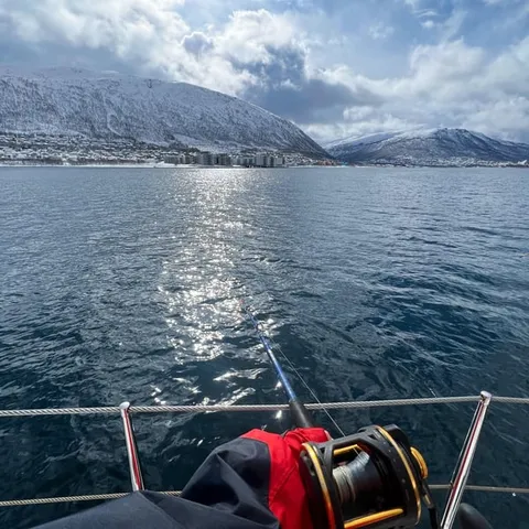
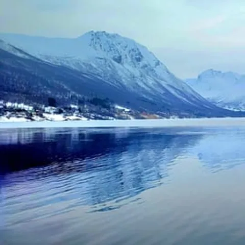
Distance: ~18 km round trip | Elevation gain: ~1,160 m | Summit: 1,238 m | Time: ~7 hours | Difficulty: demanding
Is the fjord cruise worth it?
Know before you leave
- Book your boat seat before you arrive
- Allow a full half day on the water
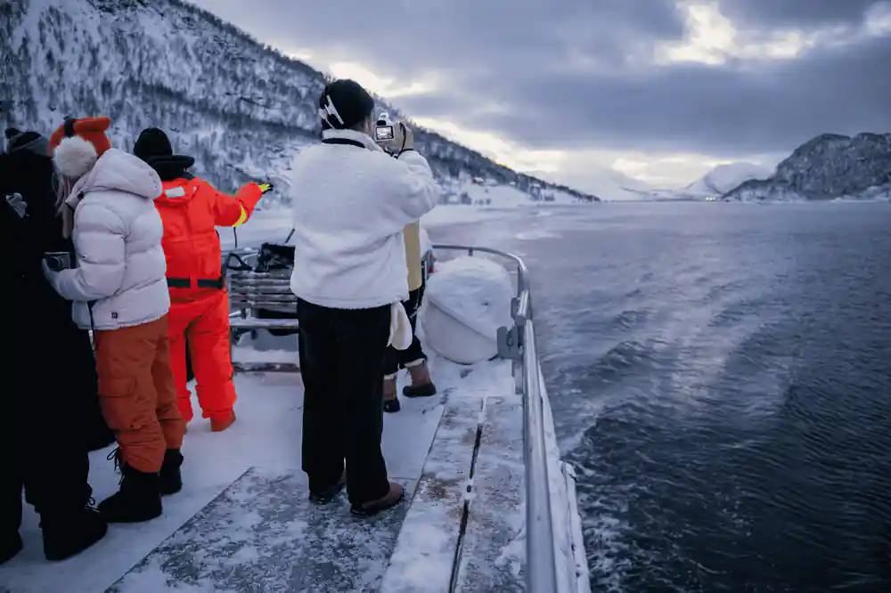
- Dress warmer than the city forecast suggests
- Free cancellation up to 24 hours in advance.[2]
On the water
- Look for white-tailed sea eagles over the water
- Bring sunglasses for low winter light
- Stay on deck when the boat slows near shore
- Compare from prices before you book
Why Tromsø's skyline starts with an island
Tromsø is a city built on an island, with the mainland across a narrow sound to the east and the wide island of Kvaløya to the west. That single fact shapes everything you see from the water. From the deck the town reads as a low band of roofs and harbour lights, then the curve of the bridge, then a wall of mountains stacked behind it. Tromsø lies 217 miles north of the Arctic Circle and has a population of 75,638.[8]
The reason the town grew here is the harbour, a sheltered anchorage on a coast that is otherwise raw and exposed. Boats have always been the way people arrived, and they are still the best moving viewpoint in town. The water gives you the whole skyline in one slow pan, from the cathedral on the mainland side to the peaks of Kvaløya. Its listed stops are Ryøya and Ramfjorden.[2]
Practicalities are simple. The cruise and fishing trip lasts 4 - 5 hours and has a live guide in English.[2] Take a warm hat even in midsummer, keep your camera in a pocket rather than round your neck, and move to the sheltered side when the boat picks up speed. The skyline will still be there when you turn round.
The bridge that stitches the skyline together
Tromsø Bridge is the hinge of the view. It leaps the sound in one long arc, low enough for a small boat to pass beneath and high enough that it never cuts the mountains in half. Sit on the seaward side as you head out, watch the arch slide overhead, then turn and see it framing the Arctic Cathedral and the slope behind. On foot, the shore at the south end of the bridge is an easy Tromsø viewpoint at water level. From the water you take in the whole span at once, and the traffic crossing it gives the skyline a sense of scale.
The water under the bridge stays cold all year. The average sea water temperature around Tromsø reaches 5.2 C in winter and rises to 10.5 C in summer.[9] On deck the air comes straight off that water, and a warm layer matters even when the sun is out. Electric and hybrid propulsion is changing how boats move here: Siemens Energy says its whisper-quiet systems can cut vessel fuel consumption, emissions and costs up to 90 percent.[10]
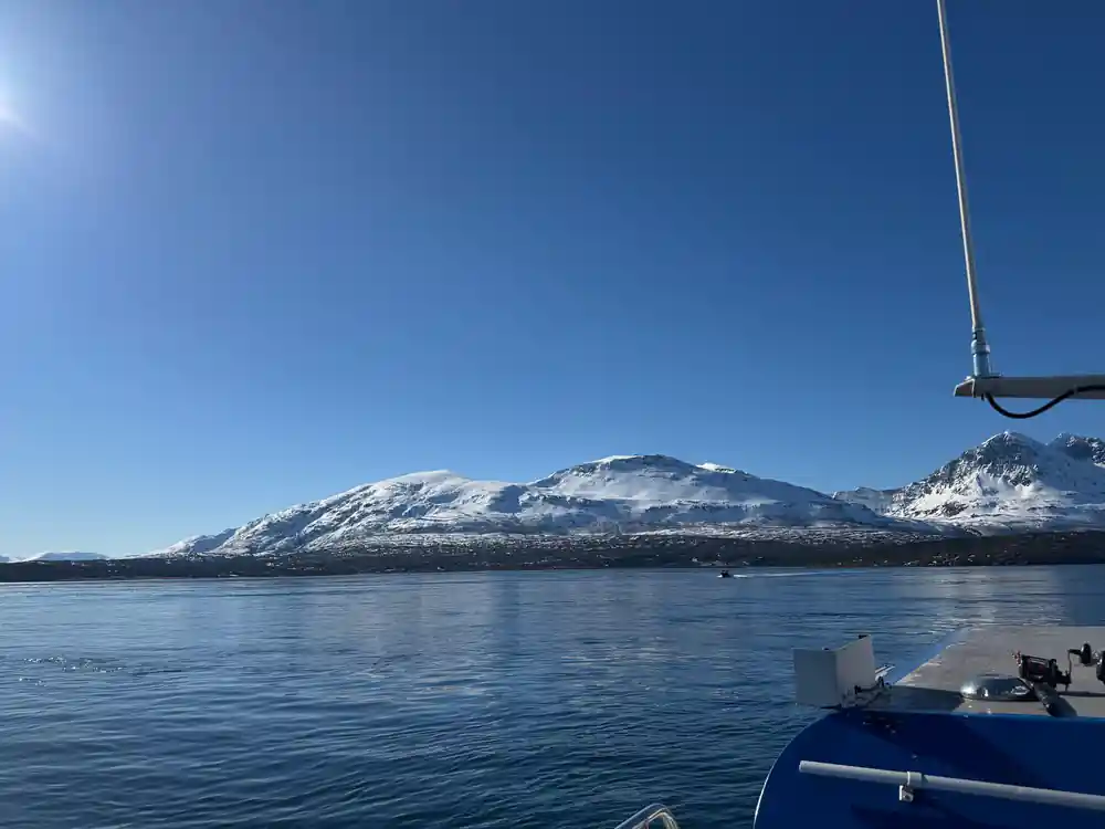
Morning light on the sound, with the bridge arch and the cathedral on the far shore.
The Arctic Cathedral and its ice-shard geometry
The Tromsø Arctic Cathedral stands on the mainland shore at the far end of the bridge, and it is the building you will pick out first from the water. Triangular panels of white concrete rise and lock together, so the shape reads as a glacier, an ice shard or a sail, depending on the angle. From the boat it looks almost weightless, with the reflection doubling it on calm water.
The cathedral sits in Tromsdalen, the valley that also holds the cable car station and the trailheads for the mountains above. A short walk from the bridge, or one stop on the bus, brings you to the doors, and the glass mosaic on the eastern wall is worth the trip on its own. If you only ever see it from the fjord, watch how the white concrete shifts from grey to pink to gold as the light moves.
Tromsdalstinden and the peaks above the city
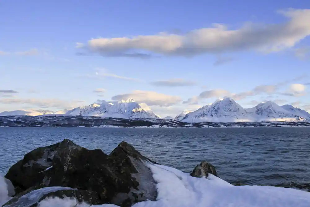
Look east from the water and the biggest shape on the skyline is Tromsdalstinden, the large mountain visible across the bridge from downtown Tromsø.[11] Its summit sits at 1,238 m.[11] It rises straight out of the valley behind the cathedral, so from the sound it seems to sit right on top of the town. Watch it while the boat is still in the sound. Once the route turns into Ramfjorden, the peak slips behind the shoulder of the valley.
Snow decides how that skyline looks. In winter the mountain holds snow down towards the shoreline, and in February, the coldest month, the average air temperature in Tromsø is -3.2 °C.[12] By late spring the white retreats to the upper slopes, leaving grey rock and green birch below, and the peak turns into a clean triangle against the sky. Locals use it as a marker for where the town ends and the wild coast begins.
from US$136
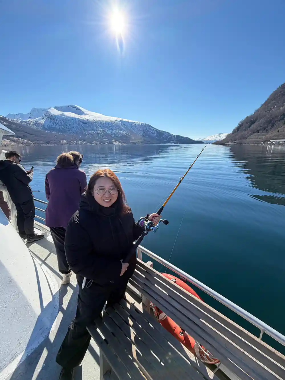
The Arctic fjord cruise and fishing experience runs 4 - 5 hours with a live guide in English and lists Ryøya and Ramfjorden as its stops.[2]
What the cable car climbs above
The cable car leaves from Tromsdalen and climbs the steep flank above the cathedral to a ridge below Fløya. It is the classic Tromsø Norway viewpoint, and the ride does the climbing for you, so you can step out on the platform with the whole sound laid out below: the bridge, the island, the harbour and, on a clear day, the open sea to the north.
From up there the skyline you saw from the water turns into a map. The town looks small, the bridge looks like a thread, and the fjord shows you where the boat went. If you are sailing later the same day, go up first. You will spend the cruise recognising shapes instead of guessing at them, and the view down onto the cathedral roof is something you cannot get from sea level.
A word on timing. The cable car and the boat work well on the same day, but leave a gap between them. Late afternoon is the sweet spot: the town below is still readable, the peaks have shadows in them, and the white concrete of the cathedral turns bright against the darkening fjord. The platform can be busy when the light is good, so build in a little waiting time.
Snow peaks of Kvaløya and Ramfjorden
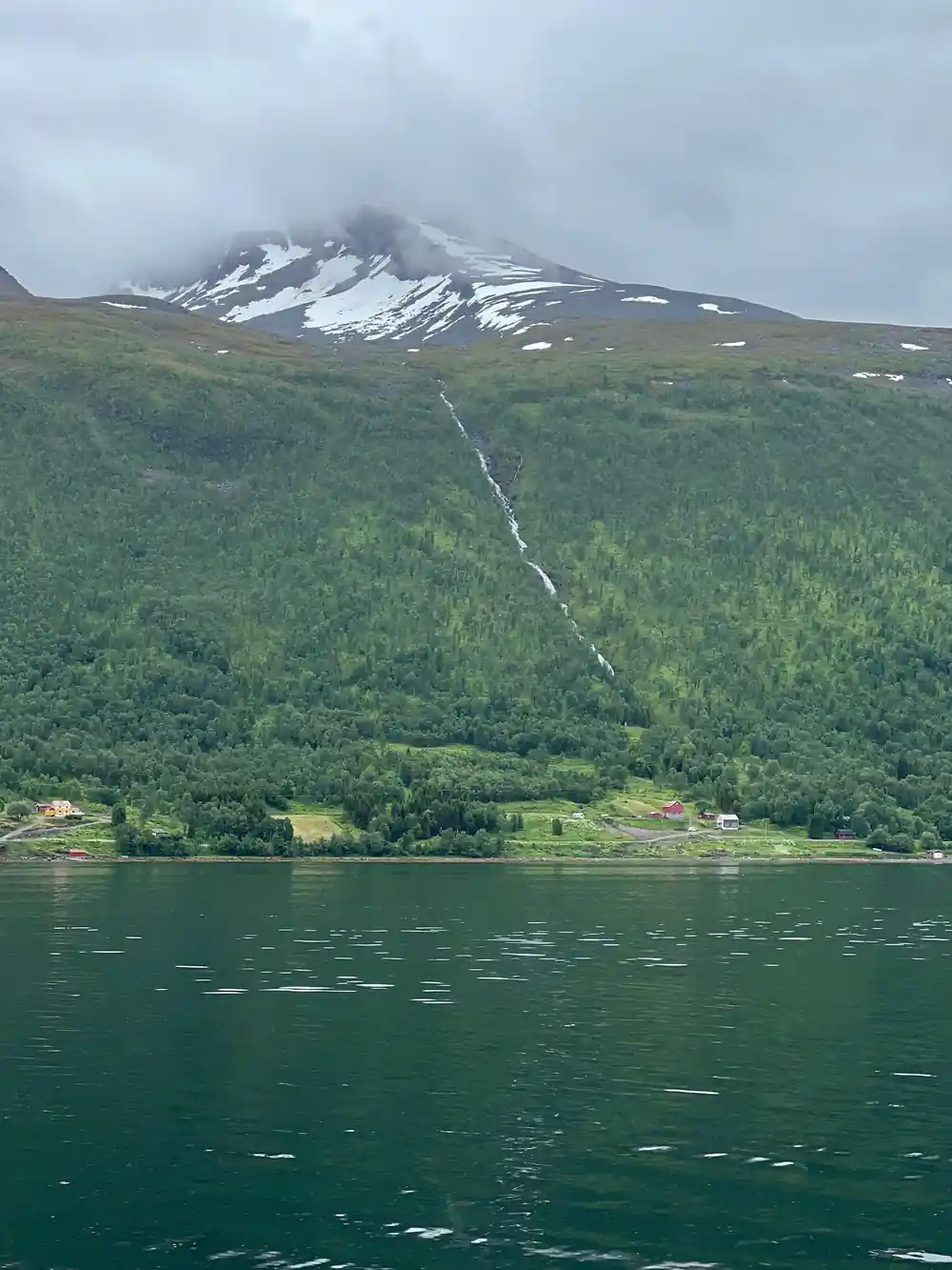
West of the city, Kvaløya raises a ridge of peaks that stay white well into spring, and beyond it the fjords run out towards Sommarøy and the open sea. The boat turns into Ramfjorden, where the water goes still and the mountains close in on both sides. Other tours go further: the Sommarøy fjord expedition with a salmon picnic runs 4.5 hours from US$55, the Arctic fjord cruise in polar landscapes runs 3.5 hours from US$121, and the fishing sea safari runs 3.5 hours from US$173.[6][7][13]
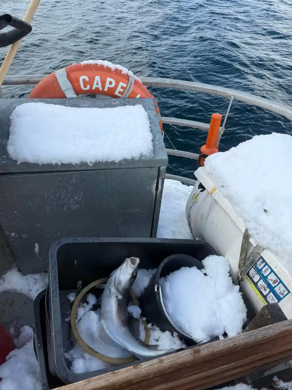
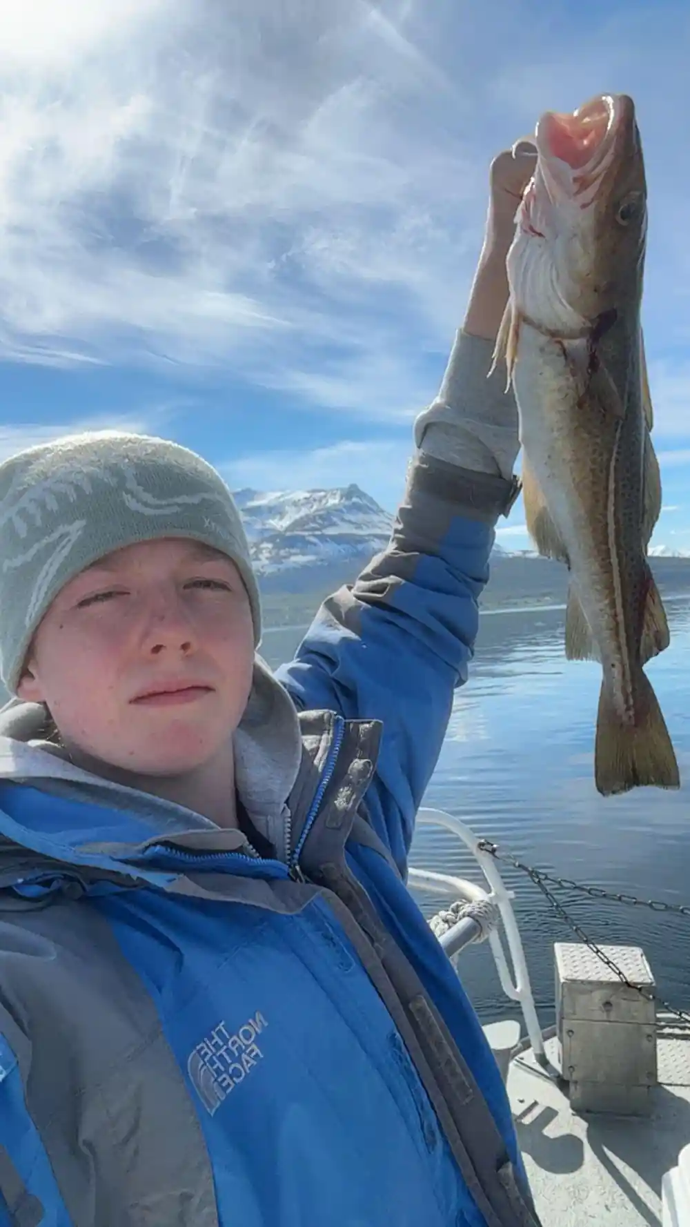
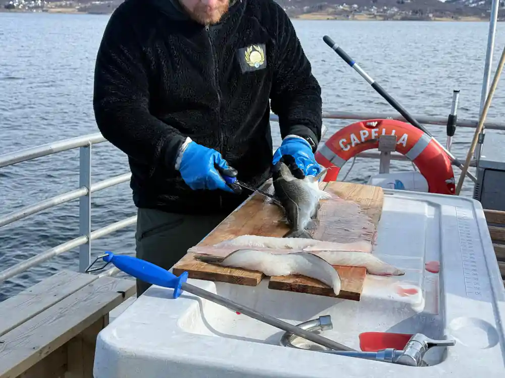
Wildlife works the same water you are sailing. Norway has 2,500 breeding pairs of white-tailed sea eagles, the largest breeding population in Europe.[5] Fish found in Norwegian fjords include coastal cod, saithe, pollack, haddock, herring, mackerel and sprat.[14] Herring ties the whole coast together: in the 1950s and 1960s, the fishable component of the Norwegian spring-spawning herring stock is believed to have measured about 10 million metric tonnes.[15] Red king crab in Norwegian waters rarely exceeds 8 kg or 23 cm carapace length.[16]
How Arctic light changes the skyline
The light is the reason the skyline looks different every hour. Tromsø has 61 days of polar night.[3] Through the middle of winter the sun stays below the mountains, and the sky runs through blue, violet and orange without ever going fully bright. Add snow and the scene turns monochrome, with the peaks in pale grey and the water black underneath.
If you want the aurora over that skyline, January offers the highest statistical chance of seeing it in Tromsø, with 75-80% success.[4] Winter is also the season for whales: orcas and humpbacks follow herring into the Tromsø and Skjervøy fjords roughly every November through January.[17] Both are reasons to keep an evening free.
Whatever season you choose, watch the weather rather than the calendar. A grey, windy day flattens the skyline. A clear one after snow turns it into a set of sharp edges, with the bridge drawn in black and the mountains layered behind. In winter the best light often comes when the sun skims the horizon and the town stays in shadow. Then stand at the rail as the boat turns for home, and the town appears as a line of lights beneath a ridge of black mountains.
From prices for fjord and fishing tours
From prices in US dollars for four Tromsø tour listings.[2][6][7][13]
From prices in US dollars
From prices in US dollars for each tour listing.[2][6][7][13]
When to go on the water
How to see the skyline
Book the boat first
Pick a day in the middle of your stay, so the weather has a chance to settle. The tour runs 4 - 5 hours.[2]
Sit outside on the way out
Stay on deck while the boat leaves the harbour. The bridge, the cathedral and the peaks all appear in the first stretch of water.
Learn the mountain names
Tromsdalstinden is the peak across the bridge, and its summit stands at 1,238 m.[11] Knowing it makes the rest of the skyline easy to read.
Ride up afterwards
The cable car rises from Tromsdalen to the ridge below Fløya. Go up after the cruise and the shapes you saw from the water fall into place.
Chase the light
In January the aurora chance is highest, at 75-80%.[4] On dark afternoons the skyline is lit by the town rather than the sun.
See Tromsø's skyline from the water
from US$137Reserve now & pay later